/
La Niña not active as late-2026 El Niño holds; focus turns to possible 2027 neutral shift
La Niña is not active at the end of October 2026, with an El Niño advisory in place and warm anomalies dominating the equatorial Pacific. Forecasters are watching for a possible shift to ENSO-neutral conditions in spring or early summer 2027, while any later La Niña remains uncertain.
R
4 min
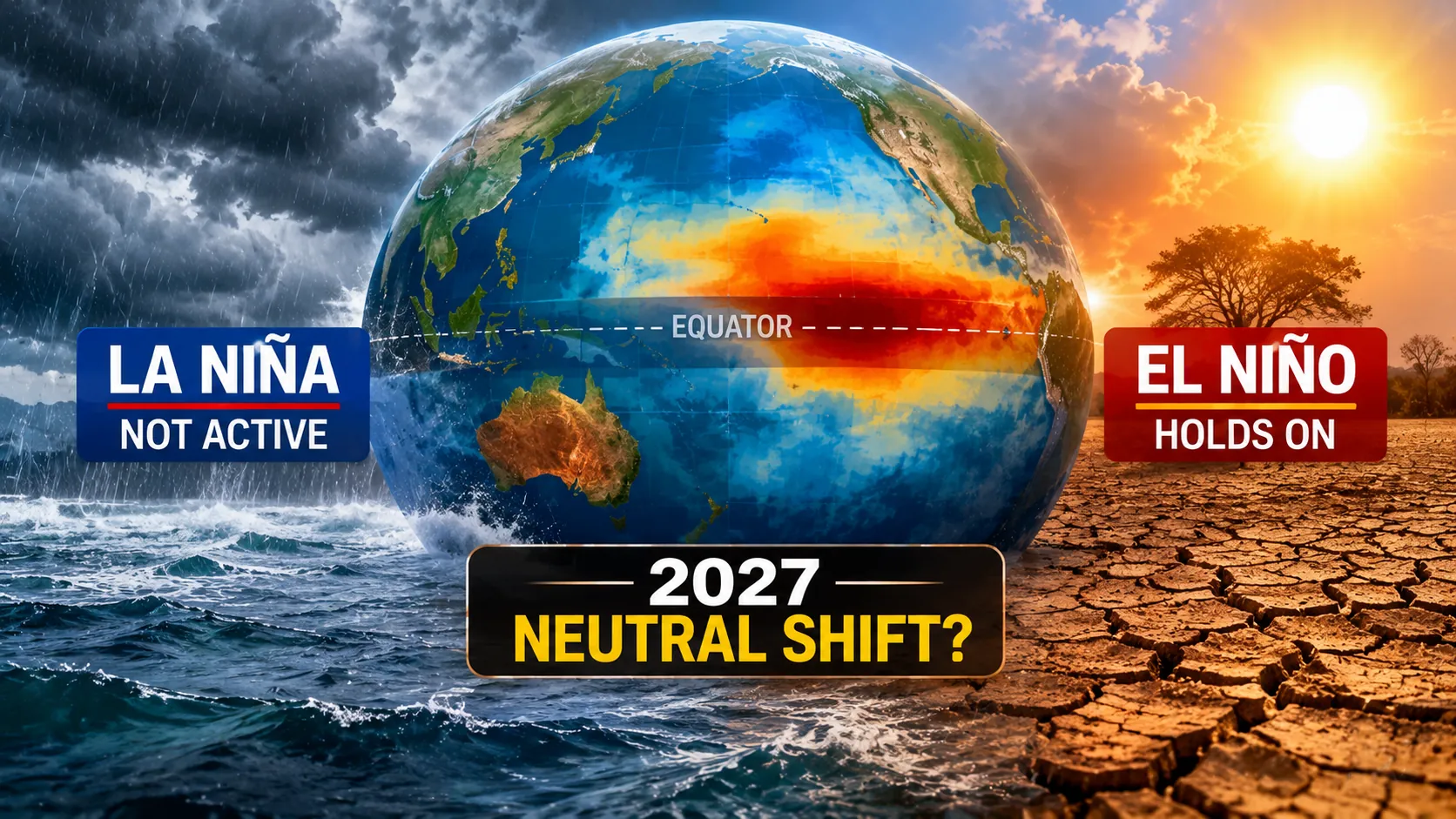
La Niña is not in place heading into the end of October 2026, with climate monitoring focused instead on an ongoing El Niño pattern in the equatorial Pacific and what it may do next.
La Niña refers to the cool phase of the El Niño–Southern Oscillation (ENSO), when sea-surface temperatures across the central and eastern equatorial Pacific stay at least 0.5°C below normal for an extended period and the atmosphere responds in step. Those conditions are not being observed now. Late-2026 assessments describe an El Niño advisory, with warm anomalies dominating the same swath of ocean where La Niña would normally show cooling.
That matters because ENSO is one of the main drivers of year-to-year swings in rainfall, temperature and storm behaviour across the tropics and beyond. The question for forecasters is not whether La Niña is active today, but whether the current El Niño eases back to neutral conditions in 2027, and whether a later flip to La Niña becomes more likely after that.
What La Niña is, and what it isn’t today
In a La Niña, stronger-than-usual easterly trade winds push warm surface water westward toward Asia and Indonesia. As that warm water piles up, colder water wells up from depth along the South American coast, cooling the ocean surface in the central and eastern equatorial Pacific. The result is a large-scale shift in the tropical atmosphere that can tilt weather patterns far from the Pacific.
ENSO is not a regular metronome. It tends to swing between El Niño, La Niña and neutral conditions every two to seven years, but the timing and intensity vary. Even when the ocean begins to cool or warm, the atmosphere does not always lock in immediately.
That coupling is why La Niña is more than a patch of cool water. The definition hinges on both sustained ocean cooling and consistent atmospheric changes. Without the pair, the world does not get the full “La Niña pattern” that seasonal outlooks are built around.
For now, the opposite phase is in play. Late-2026 updates describe an El Niño advisory and strong positive temperature anomalies across the equatorial Pacific. In practical terms, that means the baseline expectations associated with La Niña, such as a tendency toward heavier rains in parts of Southeast Asia and Australia, are not the starting point for today’s climate discussion.
Why the ENSO switch matters
Although no single storm or heatwave can be pinned on ENSO alone, the phase of the Pacific often stacks the odds toward certain regional outcomes.
La Niña has commonly been linked with increased rainfall and flood risk in Southeast Asia and Australia, along with more active monsoon conditions. In the Americas, it has often been associated with drier conditions across the southern United States and parts of South America, while northern North America can lean cooler in winter. La Niña years are also often tied to a more active Atlantic hurricane season.
El Niño, by contrast, tends to push the climate dice the other way in several of those regions. With El Niño conditions described as dominant now, the current background state is expected to favour patterns that differ from the La Niña playbook.
The distinction matters for planning, because ENSO is one of the few climate signals that can be tracked months ahead. When the Pacific shifts, it can influence seasonal rainfall totals, the likelihood of drought in some regions and flood risk in others, and the broad temperature tendency in certain seasons.
At the same time, ENSO is not the whole story. Local ocean temperatures, land heating, and shorter-term weather patterns can overwhelm the ENSO signal for weeks at a time. That is why forecasters treat La Niña and El Niño as risk tilters, not as a script.
What forecasters are watching for 2027
The most concrete near-term question is whether the current El Niño relaxes back toward neutral conditions in 2027. Late-2026 outlooks describe a possible transition to ENSO-neutral conditions in spring or early summer 2027.
If that happens, it would mark a return to a Pacific state where neither El Niño nor La Niña dominates, and where global seasonal patterns may be less strongly nudged by ENSO. Even then, “neutral” does not mean calm weather, only that the tropical Pacific is no longer providing a strong push in either direction.
A later move toward La Niña remains uncertain. Forecasters are cautious for a reason: ENSO transitions depend on how heat is stored and moved in the upper ocean, how trade winds behave over months, and whether the atmosphere reinforces the ocean trend. A weak La Niña that formed in late 2025 faded by early 2026, and the system shifted into an El Niño by mid-2026, showing how quickly the Pacific can change direction.
For regions that are especially sensitive to ENSO, the next few months are about watching the trajectory rather than reacting to a La Niña that is not currently there. The trade winds, the evolution of sea-surface temperatures across the central and eastern equatorial Pacific, and signs of sustained atmosphere-ocean coupling will be the markers that determine whether 2027 looks like a wind-down to neutral, a prolonged El Niño, or the early steps toward another La Niña.
R
4 min
What did you think?