/
Cold fronts and storms reshape Thursday weather from Oklahoma floods to Denver freeze watch
Weather shifted sharply on Thursday, Oct. 15, with storms and flood concerns in Oklahoma, rain turning to freeze risk in Colorado, and a cool-down then brief warm-up near New York City. Washington, D.C., also cooled as a cold front ended near-90°F warmth from Wednesday.
R
6 min

A sharper, more changeable slice of autumn weather moved into several regions on Thursday, 15 October 2026, bringing everything from late-night thunderstorms and flood worries in Oklahoma to a freeze watch on Colorado’s Front Range and a brief warm-up window ahead of another cooldown in the New York City area.
In the Washington, D.C., region, the day began with a different headline than the one that dominated midweek: a cold front arrived to shut down the recent stretch of record warmth after near-90°F heat on Wednesday.
The common thread was timing. Across multiple forecasts, the turning point was overnight into Thursday, when fronts and storm systems either crossed or set up boundaries that kept rain going into the morning commute, then opened the door to drier air and colder nights.
Plains storms bring flooding concerns
In Oklahoma, forecasters expected more rounds of storms into the overnight hours and through Thursday morning, with locally heavy rain and at least a limited risk of strong to severe storms near the Tulsa metro area overnight into early Thursday.
The setup included an outflow boundary across southern Oklahoma, described as cooler air pushed out by earlier storms. As that boundary was projected to lift northward later at night, another disturbance was expected to move from southwestern into central Oklahoma, a combination that can re-ignite scattered thunderstorms after dark.
The rain was already making history. At Will Rogers, Wednesday’s tally was reported at 4.99 inches, described as a record-smashing total. The heaviest corridor of rain was said to have set up along I-40 from western Oklahoma into the Oklahoma City metro.
That kind of early saturation matters when the next wave arrives. With additional storms expected to expand through Thursday morning, forecasters warned that flooding could again become an issue where cells repeatedly track over the same locations.
The severe-weather risk was expected to ease with time. While a few storms were still flagged as capable of producing damaging wind or hail in western and southwestern Oklahoma during the evening and overnight period, the threat was projected to diminish as the rain shield spread east into Thursday.
A cold front was also part of the story. With clouds and rain holding temperatures up overnight, the more noticeable drop was forecast to arrive Thursday afternoon, after the front pushed through and the air mass behind it began to take hold.
Colorado’s storm carried a different set of hazards: a wet start followed by a rapid clearing trend and a hard turn toward frost.
In the Denver metro, rain and mountain snow were expected to persist into Thursday, leaving a damp morning commute and showers lingering through midday before skies cleared from north to south. Daytime temperatures were forecast to stay below average, with highs in the low to mid-50s.
The bigger concern was what followed the clearing. With skies expected to open up Thursday evening, temperatures were forecast to fall quickly overnight, raising the prospect of widespread frost or a hard freeze across the Denver metro and the plains into Friday morning.
A Freeze Watch was issued for the Thursday night into Friday morning period, with the warning tied directly to the expected plunge after sunset.
Thursday night’s outdoor plans were also set to feel the change. For the Broncos-Seahawks game at Empower Field, the forecast called for chilly, windy conditions, with the possibility of a few spotty showers during tailgating before clearing in time for kickoff. Temperatures were expected to drop into the low to mid-40s by the fourth quarter.
East Coast cools, then briefly warms
In the New York City region, Thursday was expected to deliver a cleaner fall feel: less humidity, filtered sun and highs in the low to mid-60s. The day was forecast to start in the 50s, with some areas north of the city dipping into the 40s.
Most of the daylight hours were expected to stay dry under mostly sunny skies and high clouds, though a late-day shower was possible across far southern New Jersey.
The more organized rain was expected to arrive later. Clouds were forecast to thicken Thursday night, with showers becoming more widespread late in the evening and overnight as a warm front approached.
More from GeneralExplore General

The wettest period was projected from late Thursday night through Friday evening, with the potential for heavier rain on Friday morning that could slow the commute. Conditions were expected to improve by late morning into early afternoon, when showers would become more scattered and breaks of sun could develop.
Temperatures were forecast to respond quickly to the warm front. Friday’s highs were expected to climb into the low to mid-70s, before another plunge was forecast for the weekend.
India faces unsettled northern belt
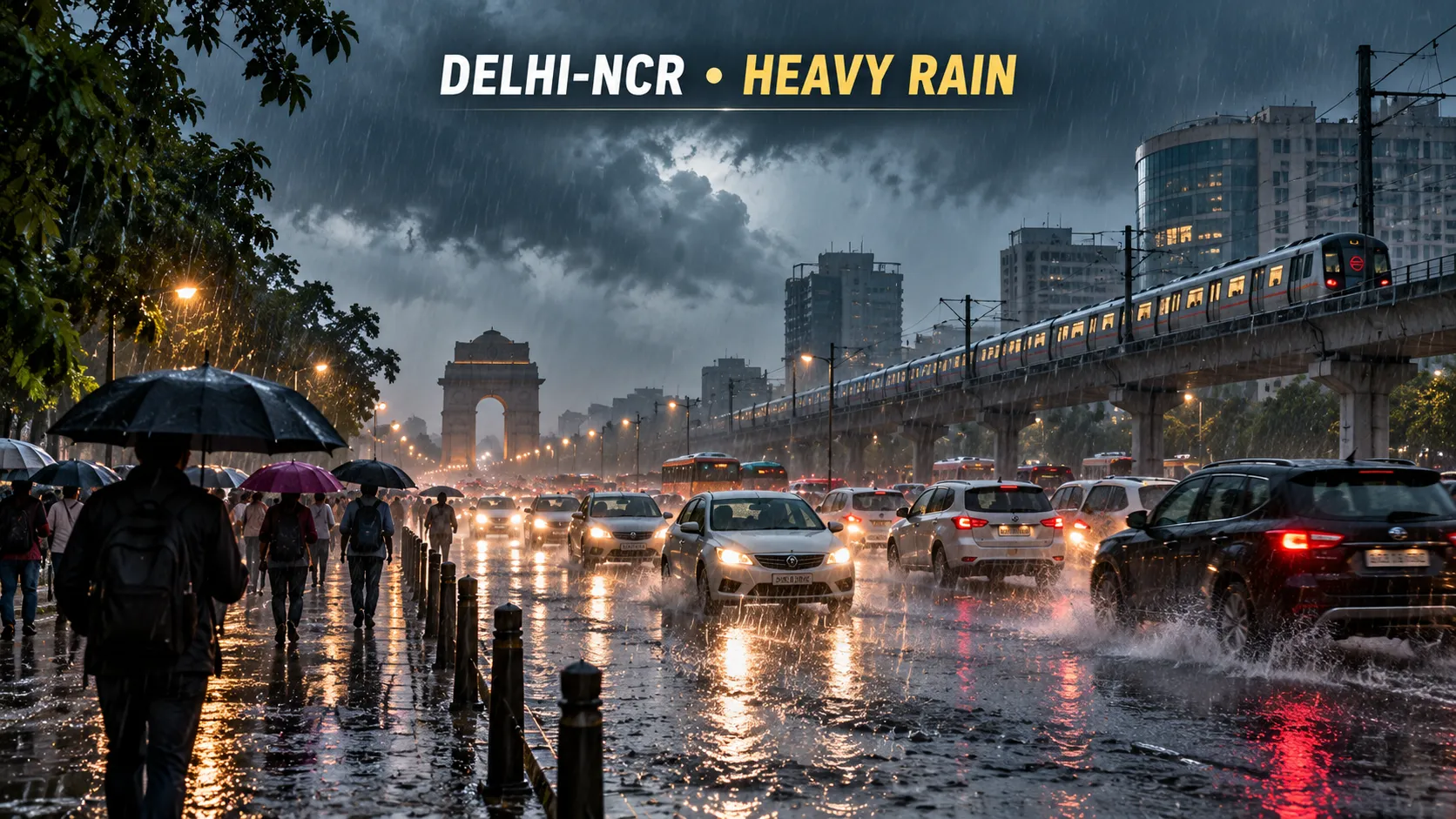
In India, the national forecast for 15 October pointed to unsettled weather across parts of the north, with thunderstorms, gusty winds and the chance of hail in some areas.
The outlook also referred to state-wise rain expectations, snowfall chances in higher terrain and temperature variations across regions, a reminder that mid-October can bring sharp contrasts between plains still vulnerable to late-monsoon-style downpours and hill areas edging toward early winter conditions.
While the forecast did not spell out a single nationwide trigger, the hazards listed together pointed to the kind of convective setup that can bring quick bursts of rain, strong gusts and isolated hail, particularly in the afternoon and evening hours.
The Washington, D.C., area began Thursday on the back side of an abrupt shift. After near-90°F warmth on Wednesday, a cold front moved in to end the record-breaking run and knock temperatures down.
The change was a classic October reset: summerlike readings yielding to cooler air in a single day, with the front acting as the dividing line between the lingering warmth and a more seasonable pattern.
For residents, the practical effects tend to show up first in the small decisions. Windows that stayed open late into the night earlier in the week get shut. Morning commutes require an extra layer. Outdoor plans still go on, but the comfort level changes.
What comes next
Across the regions, the near-term forecast emphasized two themes: brief windows and fast drops.
In Oklahoma, the focus remained on the timing of overnight storms, the possibility of isolated severe weather near Tulsa early Thursday, and the renewed flooding risk where rain repeatedly tracks over the same ground already soaked by Wednesday’s record total.
In Colorado, the storm’s wet phase was expected to give way to clearing, then a colder night that could bring frost or a hard freeze into Friday morning, with the Freeze Watch tied to that rapid temperature fall.
On the East Coast, the New York area’s cooler Thursday was expected to be followed by a rainy stretch late Thursday night into Friday, then a warmer Friday before the next weekend cooldown.
And in Washington, the message was already clear by Thursday morning: the stretch of near-90°F warmth was over, replaced by a more typical mid-October feel as the cold front settled in.
R
6 min
What did you think?