/
Cyclone Akvan to approach Andhra Pradesh coast around 19 November, says IMD
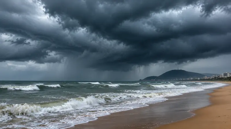
The IMD says Cyclone Akvan, now strengthening over the Bay of Bengal, should become a severe cyclonic storm by 17 November and approach the Andhra Pradesh coast around 19 November, with rain in Tamil Nadu.
S
4 min
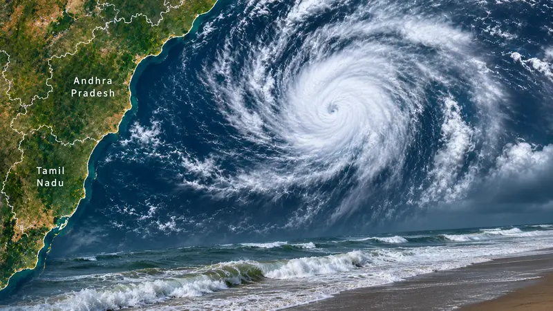
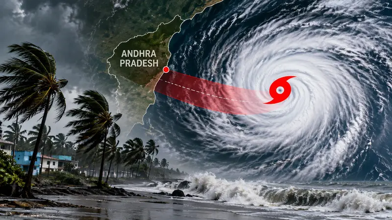
Cyclone Akvan is forecast to approach the Andhra Pradesh coast around 19 November, the India Meteorological Department (IMD) has said, as a depression over the Bay of Bengal strengthens into a cyclonic storm today, Monday 16 November. The system is still over open water and has not reached land.
The IMD said on 15 November 2026 that a depression had formed over the southeast and adjoining southwest Bay of Bengal. Its forecast has the system becoming a cyclonic storm on 16 November. It is then expected to grow into a severe cyclonic storm over the west-central Bay of Bengal by Tuesday, 17 November, and to move northwestwards towards the Andhra coast.
The Andhra Pradesh coastline has been put on alert again. Akvan is the third cyclonic system to brew over the Bay of Bengal within a month, which is why the alert is a repeat one for many coastal communities. Coastal Tamil Nadu is also on high alert, even though the track points away from the state's southern districts.
The timing has moved between forecasts. An outlook issued a day earlier placed the system's arrival on the Andhra coast on 18 November, with severe cyclonic storm strength reached by Wednesday. The IMD's current schedule gives 17 November for the upgrade and around 19 November, a Thursday, for the approach. Neither version names the stretch of coastline that will be affected.
Rain bands reach Tamil Nadu and Bengal
Andhra Pradesh is not the only place under the weather. The IMD has said the system is already bringing rain and unsettled conditions to the north coastal districts of Tamil Nadu, to Puducherry and to the Karaikal region. Chennai, Chengalpattu, Kancheepuram and Kanyakumari are among the places named in that advisory.
Forecasters expect the storm to carry winds of up to 120 kmph over the sea once it has intensified, with heavy to extremely heavy rainfall. Those figures describe conditions over the water. They are not wind or rain readings for any town on shore.
The picture for Tamil Nadu is mixed. A separate outlook for the coming week suggested the state may see dry weather, because the new system is expected to intensify and then make landfall along the Andhra Pradesh coast, drawing the worst of the weather northwards. That outlook sits alongside the IMD's own naming of northern coastal districts for rain, and the two are not in direct conflict: one describes the days of the approach, the other the week ahead. Neither comes with district-by-district rainfall totals.
Telangana is also in line for wet weather. Heavy rain is expected in several of its districts as the storm approaches the Andhra coast, though the forecasts available do not list which ones. Rain bands and related weather from the system are likewise anticipated over parts of West Bengal, the IMD has said.
For people on the shoreline, the figures that matter most are the ones not yet published: wind speeds and storm surge for individual coastal districts, and hourly rainfall for Tamil Nadu and Andhra Pradesh. Those details were not part of the forecasts issued so far.
The IMD's schedule, 15 to 19 November
The department has laid out the expected progress of the system in stages. A depression was recorded on 15 November. The cyclonic storm stage is due on 16 November, the severe cyclonic storm stage on 17 November, and the approach to the Andhra coast around 19 November. Each stage marks a stronger system than the one before it.
The upgrade on 17 November is expected to take place over the west-central Bay of Bengal, a different part of the sea from the southeast and adjoining southwest waters where the depression formed. The change of location follows from the northwestward movement the IMD has described, which carries the system across open water towards Andhra Pradesh.
A forecast that places an approach three days out can shift by a day or more, and the move from 18 to 19 November shows it. The earlier outlook spoke of the system hitting the Andhra coast on 18 November. The IMD's current wording is an approach around 19 November. The two are not the same thing, and the department has not said on which day the system will cross the coast, or where.
Any change in direction, strength or timing will appear first in the IMD's bulletins and advisories, which the department publishes as the system moves. Its live bulletins and its social media updates are the reference for the schedule above.
For residents of the districts named so far, the next marker is the upgrade to a severe cyclonic storm on 17 November. After that, the department's updates on direction and timing should firm up ahead of the expected approach on 19 November.
People in Chennai, Chengalpattu, Kancheepuram and Kanyakumari, and across the north coastal districts of Tamil Nadu, Puducherry and Karaikal, are already inside the zone of rain. Those in Andhra Pradesh and Telangana have a few days before the heaviest weather is forecast to arrive, and the system will pass through two more stages before it gets there.
About the Author
S
Subhash Gupta
Desk Editor
Subhash Gupta is a writer at Wirony, contributing articles that are reviewed and verified by the editorial team before publication. The publication prioritises accuracy, editorial…
S
4 min
What did you think?