/
Tamil Nadu rain: orange alert for the south, schools shut in five districts, second low due around 23 October
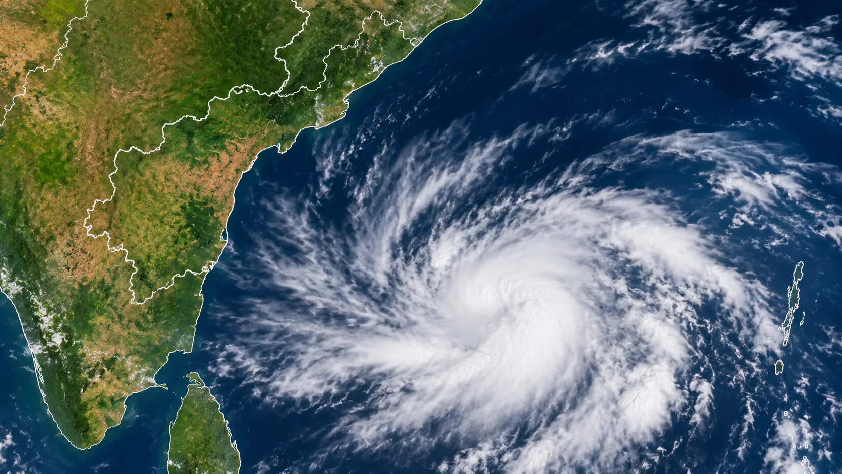
The IMD has an orange alert for Kerala, Tamil Nadu, Puducherry and Karaikal, with rain of 11 to 20 cm possible in the south. Schools are shut in five Tamil Nadu districts and all of Puducherry, and a fresh low-pressure area could form in the Bay of Bengal around 23 October.
R
4 min

The south of Tamil Nadu is now the focus of the rain. The India Meteorological Department has issued an orange alert for Kerala, Mahe, Tamil Nadu, Puducherry and Karaikal, warning of heavy to very heavy rain of 115.6 to 204.4 mm at isolated places, with rainfall close to 20 cm in some areas of the south. Schools were shut on Thursday, 22 October, in five Tamil Nadu districts and across Puducherry and Karaikal, and the regional centre expects rain across Tamil Nadu and Puducherry through 26 October.
That follows the heavy spell in and around Chennai earlier in the week, and a third round could come from a new system. A fresh low-pressure area could form over the south-eastern and adjoining east-central Bay of Bengal around 23 October, and an upper-air cyclonic circulation that was over Thailand and Myanmar has moved into the north Andaman Sea and is expected to move west-north-west.
The orange alert is for the south. Northern districts, including Chennai, are under a yellow warning, which means heavy rain and thunderstorms are still possible. The districts expected to be most affected on Thursday were Thoothukudi, Tirunelveli, Kanniyakumari, Tenkasi, Virudhunagar, Ramanathapuram, Theni, Dindigul, Madurai, Coimbatore, the Nilgiris, Sivaganga, Pudukkottai, Thanjavur, Tiruvarur, Nagapattinam and Mayiladuthurai, with Karaikal. A yellow alert covers the Andaman and Nicobar Islands, Lakshadweep and south interior Karnataka, where isolated heavy rain of 64.5 to 115.5 mm is expected.
Winds of 40 to 50 km an hour are forecast for Tamil Nadu, Puducherry and Karaikal, and winds of 30 to 40 km an hour for isolated parts of Andhra Pradesh, Telangana, Kerala, Lakshadweep and interior Karnataka. Over the sea off the Kerala coast, Lakshadweep, the Gulf of Mannar and the southern Tamil Nadu coast, winds of 35 to 45 km an hour are forecast, gusting to 55.
How much has fallen
The first heavy spell of the northeast monsoon came on Sunday, 18 October, when Parry's Corner in Chennai recorded 36 cm and Kathivakkam 34 cm in 24 hours. The latest round has been smaller but wider, as the table shows for the 24 hours to Thursday morning.
| Place | Rainfall |
|---|---|
| MGR Nagar, Chennai | 15 cm |
| Mamallapuram | 9 cm |
| Chennai (average, previous day) | 7 cm |
| Tenkasi | 6 cm |
| Sattankulam, Thoothukudi | 6 cm |
| Tirunelveli | 5 cm |
| Mayiladuthurai | 5 cm |
| Tiruvarur | 5 cm |
Data last updated: 23 October 2026, 6:15 AM IST
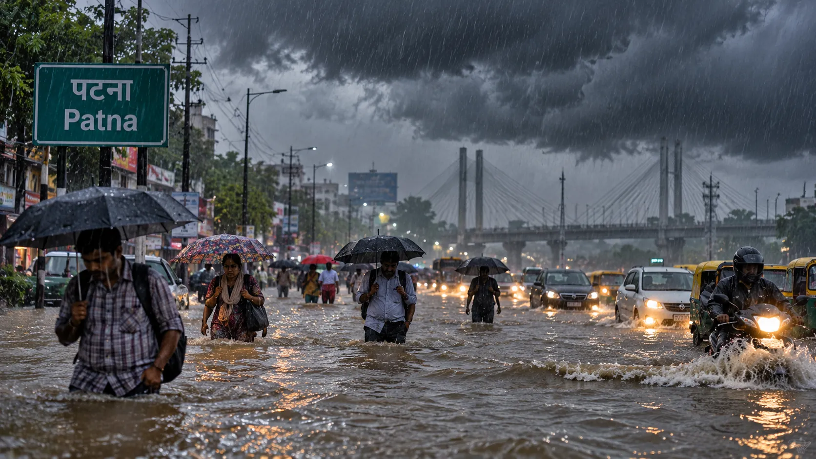

Collectors of Tirunelveli, Tenkasi, Thoothukudi, Kanniyakumari and Tirupattur declared holidays on Thursday after heavy overnight rain. In Puducherry and Karaikal all government, aided and private schools were closed, Education Minister A. Namachivayam said. Schools in Chennai, Thiruvallur, Kancheepuram and Chengalpattu, which had been shut for the earlier rain, reopened on Thursday.
Parts of central and south Chennai were waterlogged, stormwater drains were reported blocked, and houses in low-lying neighbourhoods were flooded. The Chennai forecast for Thursday was for moderate rain with thunderstorms and lightning in some areas.
What the colours mean
Alert colours can confuse. Orange means very heavy rain, above 11 cm in 24 hours, and red means extremely heavy rain, above 20 cm. No red alert has been issued for any district in the reports available. Yellow means heavy rain of 6.5 to 11.5 cm.
The department's advisory is plain. Residents should avoid flooded roads, swollen streams and waterlogged underpasses, and stay away from open spaces, isolated trees and electricity poles during thunderstorms. Fishermen should not go to sea in the affected waters. Farmers in the heavy-rain areas should make sure their fields drain and protect harvested crops.
Elsewhere, a separate low-pressure area over the south-western Arabian Sea is active and is expected to move towards the Somali coast. A western disturbance is expected to affect north-west India from 24 October, bringing possible rain, thunderstorms and snow at higher altitudes. Central, western and north-eastern India are not expected to see big changes. Searches for "flash flood risk" were among India's top trends early on Friday, and residents near rivers and low-lying areas should check the state's disaster management and water resources bulletins for local warnings, since none of the reports available named a particular river.
About the Author
R
Reyaansh Agarawal
Staff Writer
Reyaansh Agarawal contributes to Wirony, covering stories that are carefully reviewed and approved by the editorial team before publication. Wirony is committed to maintaining tran…
R
4 min
What did you think?